
Socorro ZIP Code Directory Coverage
Socorro sits within El Paso County, where postal geography and municipal geography overlap without matching perfectly. The official USPS service reference identifies the Socorro Post Office as serving three ZIP codes. That is a service-area statement, not a promise that each Socorro street uses all three codes. The county ZIP map supplies helpful regional context, while an exact USPS address lookup is the deciding check for a delivery address. A Socorro ZIP reference should preserve that difference instead of turning a nearby ZIP into a city-limit claim.
The codes below are the documented starting points. The final address result can use a different postal city name, and a nearby county pocket can share a Socorro-area code. Keep the city, county, postal city, ZIP, parcel situs, and legal description as separate fields when researching a person or property.
| ZIP code | Socorro-area context | Post office reference | Research caution |
|---|---|---|---|
| 79927 | Core Socorro postal area and nearby Lower Valley addresses | Socorro Post Office, 10550 N Loop Dr | Verify postal city and each street through USPS |
| 79928 | Socorro-area and Horizon City vicinity | Listed in the Socorro Post Office service reference | Exact street coverage was not exposed in the source |
| 79929 | Socorro-area service ZIP | Listed in the Socorro Post Office service reference | Route, post-office-box, and street detail needs address verification |
| 79836 | Clint and Lower Valley context near Socorro | Shown on the El Paso County ZIP map | Not verified as a ZIP serving the City of Socorro |
Socorro ZIP Code USPS Check
The official USPS lookup has three useful modes. “By Address” takes a company field, required street address, apartment or suite detail, city, state, and ZIP. “Cities by ZIP” begins with the code and returns associated city names. Address normalization can standardize the delivery form. USPS is the authority for the delivery address and ZIP, but it explicitly does not confirm that a person or company is at the address. That boundary keeps a Socorro ZIP code check focused on postal facts rather than personal claims.
The USPS ZIP Code Lookup is the first verification step when an address has a doubtful city label or ZIP.
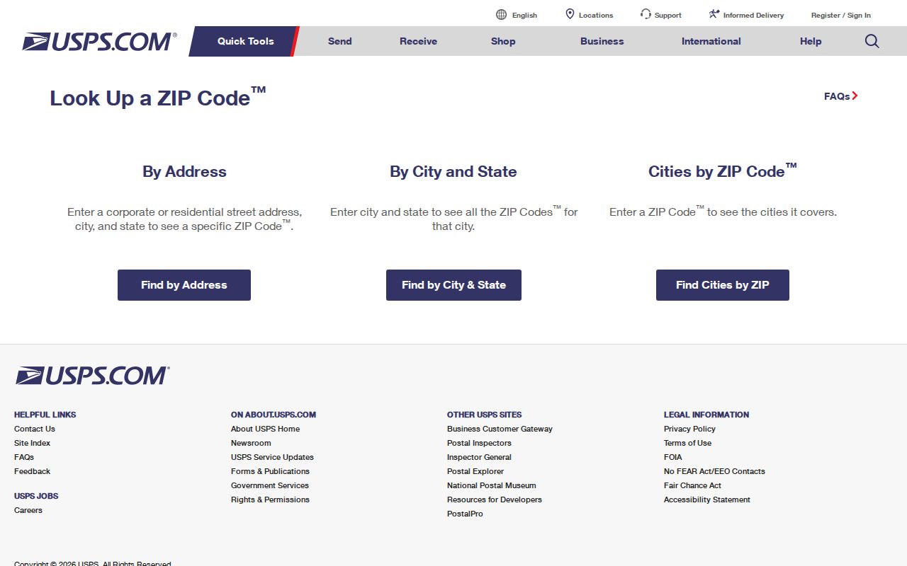
The returned delivery format can then be compared with the EPCAD parcel record, the county ZIP map, and a city boundary or district map.
Socorro ZIP Code Postal Geography
The Socorro Post Office service list includes 79927, 79928, and 79929, while the county ZIP map places Socorro within a broader Lower Valley setting. That regional pattern is why an El Paso postal designation can appear near a Socorro research trail, and why a Socorro-area ZIP cannot settle a municipal-boundary question. Use the El Paso County ZIP map for a regional view, then use an address-specific USPS result for the mailing detail.
Postal geography is useful for orienting a search, especially where a deed, directory entry, or message carries an older city label. It is not a substitute for the City of Socorro district maps, an EPCAD GeoID, or the legal description in a County Clerk instrument. The right record depends on the question: mail delivery, city jurisdiction, or a parcel’s legal location.
Socorro ZIP Code Address Keys
A ZIP is only one of several address keys used around Socorro. EPCAD searches by name, address, property ID, or GeoID. Its advanced route also exposes owner name, subdivision, condo, doing-business-as, tax-year, type, results-per-page, and sort controls, but the research did not find an advertised ZIP-wide EPCAD filter. County official records use grantor, grantee, subdivision, lot, block, unit, tract, book, page, and filing-date fields. USPS uses the standardized delivery address. Each system answers a different question.
For a parcel search, treat the address result as an owner or address lead until the detail page distinguishes the situs from any owner mailing address. The property’s legal description often survives where an address changes. A ZIP search can refine the place name, but it cannot replace account, GeoID, subdivision, lot, block, or tract fields.
| USPS address | Standardized delivery location and ZIP, not proof of who receives mail there. |
|---|---|
| EPCAD GeoID | Parcel geography key used with the account and address search. |
| Parcel situs | The location represented by the property geometry and legal description. |
| Owner mailing address | A tax-correspondence lead that can be elsewhere or use a post-office box. |
| Legal description | Subdivision, lot, block, tract, or metes-and-bounds language used in recorded instruments. |
Find Socorro Residents by ZIP Code
ZIP verification does not create a ZIP-wide name list. Use it to validate an address, then search the custodian that accepts the next identifier. EPCAD’s documented basic search uses name, address, property ID, or GeoID rather than a published ZIP filter. El Paso County Elections offers a name, date-of-birth, or VUID lookup and voter-file request procedures, but its public information page does not advertise a ZIP search. The lawful route is therefore address-first, not a claim that every ZIP can be converted into a resident roster.
- Enter the full known address in USPS and record the returned ZIP and postal-city form.
- Search EPCAD with the standardized street address and save the account or GeoID where a parcel result appears.
- Use the property result or legal description in the County Clerk’s instrument index when a dated transfer needs checking.
- Use the Elections name route only to confirm a specific registration match, respecting confidential fields and protected addresses.
Once a ZIP has narrowed the address, the Socorro street directory gives the fuller street-by-street record chain without treating postal geography as a household list.
Socorro ZIP Code Lookup Fields
USPS exposes its search fields clearly enough to use as a standardization checklist. Start with the street number and street name exactly as known. Add an apartment, suite, or other unit only when it is part of the address. City and state are supporting fields; the returned ZIP is the result to compare with the original record. A code-only search may return associated city names, which explains why an old Socorro research note can carry a different postal label.
| USPS field or mode | Format | Use in a Socorro ZIP code check |
|---|---|---|
| Street Address | Required text | Primary address-to-ZIP search field |
| Apt/Suite/Other | Optional text | Adds the unit where supplied |
| City and State | Text and state selection | Supports address verification and normalization |
| ZIP | Code | Starts the Cities by ZIP lookup route |
| Find | Button | Returns the postal match or associated city names |
Note: USPS cautions that a delivery match does not confirm a person or organization at the address, even when the ZIP and city format are correct.
Socorro ZIP Code City Limits
A postal city line is not the City of Socorro boundary. An address can use a Socorro mailing name or a Socorro-area ZIP yet lie in an unincorporated pocket, and an address in or near the city can carry a neighboring postal designation. Check the City’s district maps for municipal and council-district context, EPCAD/GIS for the parcel, and USPS for delivery. Keep the three conclusions separate in a research note.
- ZIP and ZIP+4
- A five-digit postal area and its added delivery segment; neither describes a person or city boundary.
- Post-office-box ZIP
- A code used for a box delivery pattern, which may not describe a street-delivery area.
- Unique ZIP
- A ZIP assigned to one organization or receiving point; no Socorro example was verified in the research.
- Carrier route
- A postal delivery grouping that can assist mail operations but does not define a neighborhood or municipal line.
Socorro ZIP Code Historical Addresses
Older addresses need more than a modern ZIP. Socorro’s history includes mission lands, acequias, colonias, annexation records, and growth shaped by the El Paso region. A historic road may have been a route, farm lane, or informal colonia name before it became a platted street. The research did not verify a complete street-renumbering list, an E911 address-assignment page, or a ZIP realignment history. Avoid filling those gaps with a modern code.
For an old address, compare the County Clerk’s legal description and plats with City Clerk annexation or ordinance files, planning maps, newspapers, and historical directories. The City’s master-plan collection supplies current circulation and neighborhood context, but its proposed corridors are not evidence of completed delivery addresses. A careful Socorro ZIP address search records the date of each source and lets the parcel trail bridge the different address forms.
Socorro’s Rio Grande valley setting also makes address labels less stable than a modern form suggests. Mission, acequia, farm-lane, colonia, Lower Valley, and El Paso references can describe the same broad area in different eras. Use the City Clerk for dated annexation proceedings, ordinances, petitions, easements, and council minutes. Use County Clerk plats and deeds for the tract language. Border Heritage and UTEP collections can add directory, map, newspaper, and yearbook context. The record trail should say which form appeared in each source rather than silently replacing an old label with a current ZIP.
No official Socorro-specific ZIP population table, voter-registration-by-ZIP table, unique-ZIP designation, post-office-box designation, or historic ZIP split was located in the research. That is a meaningful gap. Verify a claimed ZIP relationship with USPS and the parcel before using it in a family-history, estate, civic, or property inquiry.